


Back-to-school geography time usually happens in the same real-life windows as everything else. A class arrives in waves. A parent needs one calm after-school page before dinner. A homeschooler needs a short warmup that feels hands-on without pulling out an entire project bin. A librarian, tutor, or activity buyer wants a printable that gives kids something purposeful to do right away. That is where a back-to-school geography puzzle pack can help.
A good geography packet gives kids something to trace, sort, decode, compare, and notice before the room gets noisy. One page can sit in a social studies center. Another can slide into an early-finisher bin, substitute folder, travel clipboard, homeschool basket, or family activity folder. The point is not to replace a full lesson. The point is to have one pencil-first map task ready for the short waiting windows that happen around real school routines.
The timing makes sense right now. The American Academy of Pediatrics keeps school guidance live for families during back-to-school season. The U.S. Census Bureau keeps its Geography Program resources available online, and National Geographic continues to publish MapMaker as a current classroom-friendly map tool. The U.S. Department of Education keeps family partnership resources available, and National PTA continues to surface family resources that support smoother school-year habits. In practical terms, early August is when adults start building the folders, center tubs, and repeatable routines that make the first month of school feel less chaotic.
That is why this kind of printable works. It is low prep, easy to pause, simple to reuse, and flexible enough to move from a geography warmup to a classroom center, homework start, homeschool plan, or family table without needing a long explanation.
Why a geography puzzle pack works
A strong geography-theme printable gives kids something to spot, route, match, sequence, classify, or solve before the page turns into passive waiting.
Printables help most in these moments:
• while a teacher needs a calm opener for early arrivers, map-skills review, or a soft start before social studies.
• while a parent wants one school-season activity that feels useful without turning into a full lesson block.
• while a homeschooler needs a short map-skills warmup beside the rest of the day’s plans.
• while a tutor, librarian, or after-school leader wants a page that works with mixed ages and mixed confidence levels.
• while a family activity buyer wants printables that feel useful in real routines instead of only during one perfect lesson window.
That is also why the packet should stay simple. Good geography pages should work with a printer, pencil, clipboard, folder, and optional crayons or colored pencils. They should not depend on tablets, specialty atlases, laminated wall maps, or a full uninterrupted thirty-minute block.
What makes a good printable geography packet
The best packet is not the one with the longest directions. It is the one adults can print quickly and trust in a real warmup.
Aim for:
• one clear task per page.
• black-and-white friendly layouts that do not waste ink.
• answer spaces large enough for desks, clipboards, folders, and center bins.
• prompts tied to broad map skills such as symbols, routes, coordinates, direction words, landmarks, regions, and landforms instead of one exact textbook page.
• a mix of quick visual wins and one or two slightly stronger puzzle pages for older solvers.
• pages that still make sense after the first week of school instead of expiring after one welcome-day theme.
If a printable depends on one exact classroom wall map or a long adult script before anyone can begin, it stops being a practical school-season helper.
The 15 printable map games worth building first
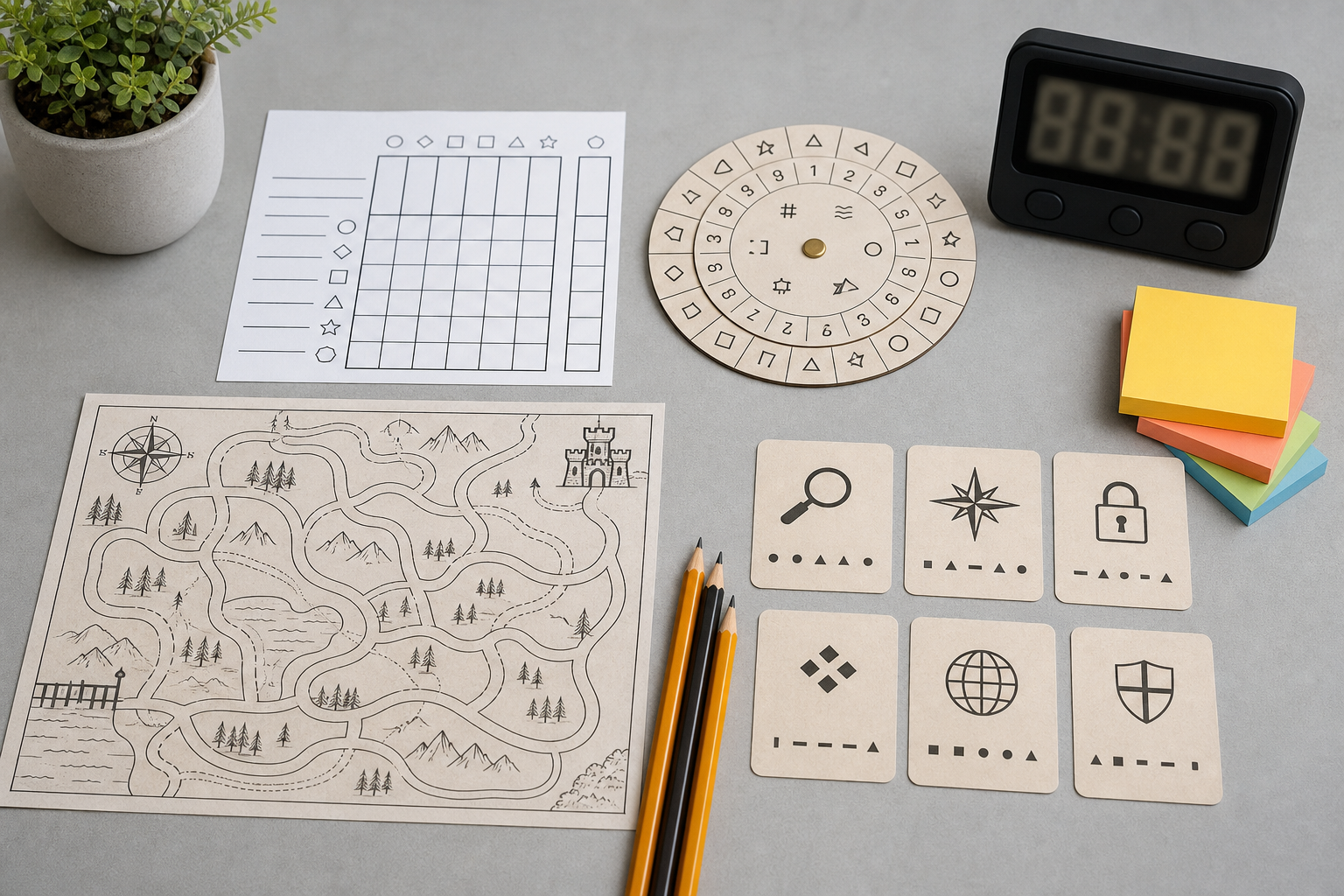
1. School-map word search sprint
Hide approachable words such as map, route, north, globe, street, river, state, and symbol. This is the fastest opener because most kids understand the search format right away.
2. Compass-rose match card
Print a compass rose beside short clues such as up, left, sunrise side, or opposite of south, then ask solvers to connect each clue to the right direction. It feels simple but gives the packet a real geography anchor.
3. Hallway-route maze
Create a path that moves from the classroom to the library, office, gym, or cafeteria by following arrows, symbols, or room labels. It feels like a maze first and a route-reading task second.
4. Map-symbol decoder
Use a small key with icons for road, park, school, bridge, trail, and water, then ask kids to decode a short map message or identify which route uses the correct symbols. This gives the packet one page that looks instantly different from a worksheet.
5. State-shape match page
Show a handful of broad state outlines or regional shapes and ask solvers to match each one to a clue, nickname starter, or label bank. Keep the set small so the page feels inviting instead of overwhelming.
6. Four-icon direction Sudoku
Swap numbers for arrows, compass letters, or travel icons in a small 4x4 grid. This adds a logic page without turning the whole packet into heavy reading.
7. Neighborhood grid coordinates
Print a simple letter-and-number grid with places such as park, school, store, and playground, then ask questions like which square has the bus stop or where a route should start. This turns map coordinates into a fast game.
8. Landform category sort
Mix words or pictures such as river, mountain, island, desert, valley, lake, and forest, then ask solvers to group them into broad categories. This gives the packet one page that works well for discussion.
9. Route-planning clue strip
Ask kids to trace the shortest or safest path between two spots using clues such as cross one bridge, avoid the construction cone, or pass the library before the gym. This makes the page feel like a mission.
10. Scale-and-distance compare card
Use a simple map scale or repeated icons and ask which route is longer, shorter, or equal. Keep the numbers light so the page stays practical for mixed-age groups.
11. Continent codebreaker
Use a simple picture or letter key that reveals a short geography word such as MAP, GLOBE, COAST, or CONTINENT. This gives the packet a strong finish-line feel without extra supplies.
12. Landmark odd-one-out
Show a small group such as bridge, lighthouse, mountain, spoon and ask solvers to cross out the item that does not belong. This keeps the packet visual and quick to restart after an interruption.
13. Region pattern repair strip
Print short rows that use repeating travel or landform icons and ask solvers what comes next. Keep the first row easy so the page feels welcoming.
14. Tiny travel logic grid
Use three students, three destinations, and three map tools with a few short clues. Keep it short enough to solve in under three minutes so it feels satisfying instead of heavy.
15. Final EXPLORE password page
Let answers from earlier pages supply one letter, number, or symbol each for a final word such as EXPLORE, ROUTE, COMPASS, or TRAVEL. This is the page that makes the packet feel complete instead of random.
Three ready-to-use mini examples
These are simple enough to build before the next geography warmup, center rotation, or after-school table block.
Example 1: quick direction clue
If north is up on the page and the library is to the right of the classroom, which direction do you travel to reach it? Answer: east.
Example 2: tiny category sort
Circle the item that does not belong: river, mountain, lake, sandwich. Answer: sandwich.
Example 3: short route clue
Ava starts at the school. She walks east to the park, then north to the library. Where does she end? Answer: the library.
How to package it for teachers, parents, and activity buyers
A strong geography packet usually needs only six to ten pages.
Start with:
• 2 quick search, match, or sort pages.
• 2 route, maze, or coordinate pages.
• 2 stronger puzzle pages such as a codebreaker, logic mini, or 4x4 Sudoku.
• 1 short clue or odd-one-out page.
• 1 final password page.
• 1 answer key.
That mix is enough for a social studies bin, substitute stack, homework folder, homeschool packet, library activity table, or family folder without making the pile feel bulky.
Classroom, home, and homeschool version
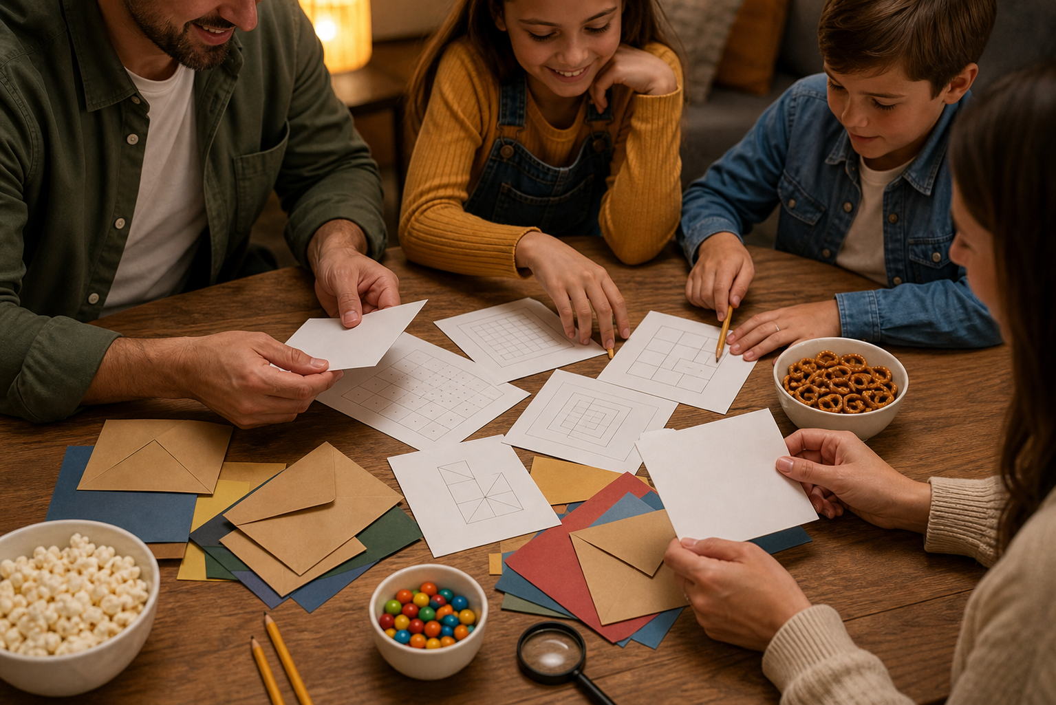
For teachers, start with the word search, compass-rose match, and hallway-route maze during arrival, transitions, or early-finisher blocks. Save the codebreaker, logic grid, and final password for later in the week when kids already understand the routine and want something that feels a little more complete.
For parents, homeschoolers, tutors, librarians, and family activity buyers, this theme works well for homework starts, travel folders, family-table resets, waiting windows, and map-theme weeks. Use the category sort, one visual page, one route clue, and the final password as quick stations, then keep the answer key nearby so the activity stays self-directed.
Because the theme is broad, the packet can keep working after the first week of school. Kids can use the same pages to notice symbols, follow directions, compare routes, sort landforms, and solve short clues without depending on one exact district sequence.
Fast answers to common buyer questions
What ages work best for geography puzzle printables?
Most geography puzzle packs work best for ages 6 and up, with easier search, route, and match pages for younger solvers and code, logic, or coordinate pages for older kids, siblings, and mixed-age groups.
Do these pages need a wall map or atlas?
No. The most practical packet assumes only a printer and pencil, with crayons or colored pencils as optional extras. If a page needs a separate atlas, globe, or internet connection to function, make that obvious before anyone prints it.
How long should a geography puzzle session last?
Five to fifteen minutes is usually enough for a center turn, warmup, homework opener, or short after-school routine block. Shorter sessions are easier to repeat than one long packet marathon.
Common mistakes to avoid
Do not make every page vocabulary heavy. Many kids will stay with the packet longer if at least half the pages involve tracing, matching, sorting, routing, or solving before any longer written response.
Do not use tiny symbols or cramped answer spaces that fail on clipboards, folders, or classroom desks.
Do not promise that a printable packet teaches geography by itself. The real value is that it gives geography-theme warmup minutes a visible format that is easier to start and easier to reuse.
Do not build every page around one exact state unit, one district pacing guide, or one teacher-only setup. Flexibility is what makes the packet useful to real buyers, real teachers, and real families.
Internal link suggestions
Pair this topic with the Back-to-School Science Puzzle Pack, the Back-to-School Math Puzzle Pack, the STEM Night Puzzle Pack, the Early Finisher Puzzle Pack, the free puzzles and games page, and the Kids Coloring Playroom. Readers who like this theme often want another practical printable for the next school transition, center bin, or family-table reset.
Call to action
Want more printable-style puzzle ideas that work in real family schedules, real classroom routines, and real school-season transitions? Browse PuzzlePlay Books for family-friendly puzzle guides, back-to-school activity ideas, and practical screen-light printables that are easy to print and easy to reuse.